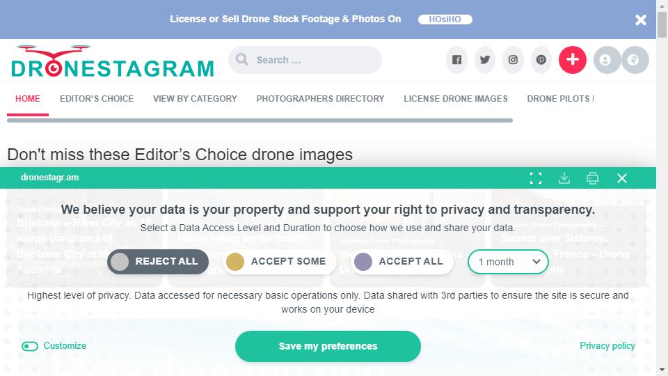

Dronestagr:UAV Aerial video network is a French company published by the unmanned aircraft for flight shooting video sharing site, by many aerial photography enthusiasts to publish their own aerial works, where you can see a bird's eye view of the world, follow the lens of the drone to browse the geographical landscape where the publisher.
The drone is operated by radio remote control equipment or onboard The UAV is an unmanned aircraft controlled by a radio remote control device or an on-board computer program control system. The UAV has a simple structure and low cost of use, and can not only complete the tasks performed by manned aircraft, but is also suitable for tasks that are not suitable for manned aircraft. In the emergency response, early warning has a great role.
Unmanned aerial photography is unmanned aircraft as an aerial platform, with on-board remote sensing equipment, such as high-resolution CCD digital camera, light optical camera, infrared scanner, laser scanner, magnetometer, etc. to obtain information, using a computer to process the image information, and in accordance with certain precision requirements to produce images. The system is designed and optimally combined to produce images. The whole system has outstanding features in the design and the most optimal combination, is integrated with aerial photography, remote control, telemetry technology, video image microwave transmission and computer image information processing of new application technology.
The use of drones for small-area remote sensing aerial photography technology has achieved significant results and experience in practice. UAV as an aerial remote sensing platform micro aerial remote sensing technology, to meet the needs of national economic and cultural construction development, for small and medium-sized cities, especially cities, towns, counties, villages and other areas of economic and cultural construction provides an effective means of remote sensing technology services. Remote sensing aerial photography technology has an important role in promoting the development of our country's economy.
UAV aerial photography images have the advantages of high definition, large scale, small area and high situational awareness. Especially suitable for acquiring aerial images of strip areas (highways, railroads, rivers, reservoirs, coastlines, etc.). And unmanned aircraft for aerial photography provides a convenient operation, easy to transfer the remote sensing platform. Takeoff and landing is less restricted by the site, in the playground, highway or other more open ground can take off and land, its stability, good safety, very easy to change the field.
In the domestic drone aerial photography is still relatively rare, but in foreign countries will be commonplace, through the aerial photography video posted on this site to see you understand which country's aerial photography works more. For the manipulation of technical proficiency and view angle selection has this very good visual effect.

Links : poudr.xyz
This site is free of charge to add web sites. If you are interested, you are welcome to contribute! Contact Email:[email protected] ‖ Contact
Copyright © 2018-2025 en.sitegaga.com All Rights Reserved.