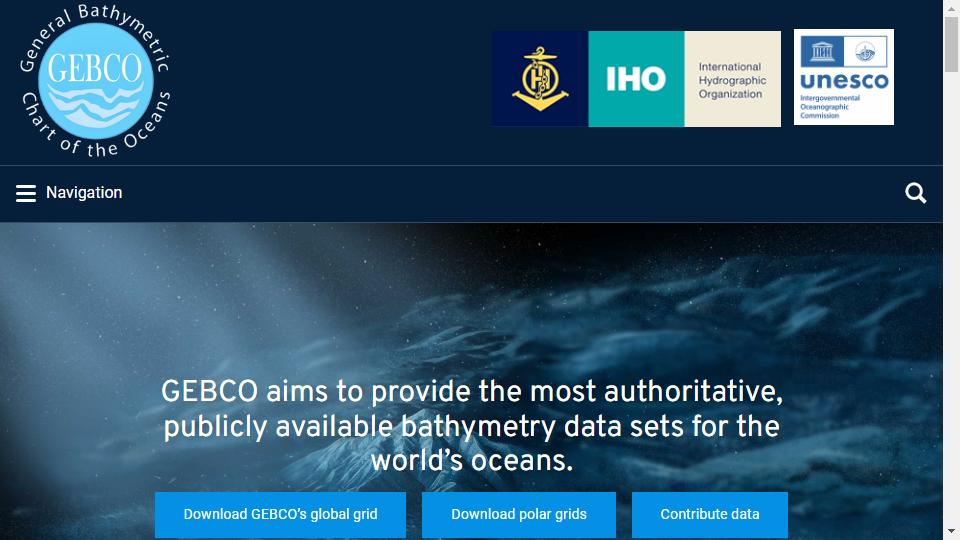

Global Bathymetric Chart of the Oceans (General Bathymetric Chart of the Oceans (GEBCO), also known as the topographic map of the oceans, is prepared by the International Hydrographic Organization (IHO) and the Intergovernmental Oceanographic Commission (IOC) in coordination with the countries concerned, covering 18 topographic maps of 1:10 million (1:6 million for the poles) worldwide.
Oceanic topographic maps provide global topographic data on land and sea. GEBCO data contains land elevation and seawater depth data; land elevation data comes from SRTM30 and GTOPO30 etc., seawater depth data comes from Smith and Sandwell's global topographic data and 290 million seawater depth sounding data.
GEBCO is a joint IHO-IOC-directed general ocean bathymetry project, which aims to establish international cooperation channels through the joint efforts of scientists and oceanographers around the world to complete ocean bottom bathymetry and "GEBCO Electronic Atlas". TSCOM and SCRUM are two sub-committees under GEBCO, TSCOM emphasizes technical research and application in mapping, SCRUM aims to strengthen and coordinate the connection and cooperation between regional mapping working groups and encourage their joint participation in GEBCO's mapping work, which has been held once a year since 1984.
At present, GEBCO has formed a variety of bathymetric datasets and products, including 1 minute, 30 arc second global bathymetric grid datasets, GEBCO electronic atlas, GEBCO world map, and GEBCO seafloor gazetteer, grid browser software, WMS service and IHO-IOC, GEBCO COOK BOOK. GEBCO COOK BOOK.
GEBCO Science and Technology Day mainly showcased the new developments and technologies of the current seabed topography around the world in the form of presentations and exhibition boards. After that, 13 scholars gave presentations on the integration of GOOGLE MAP and ocean, global multi-resolution topographic fusion, visualization technology of bathymetric topographic data, new methods to obtain bathymetric topographic data by applying satellite inversion and other technologies, and extension projects of GEBCO (e.g. education, public awareness). The latest results of GEBCO were presented in the following areas
The joint TSCOM-SCRUM meeting mainly focused on the current GEBCO product status and the follow-up work to explore and verify the responsibilities of the Crowd Source Bathymetry Working Group (CSDWG), the current problems and the follow-up work. The Crowd Source Bathymetry Working Group's responsibilities, current issues and follow-up work plan were identified.

Links : poudr.xyz
This site is free of charge to add web sites. If you are interested, you are welcome to contribute! Contact Email:[email protected] ‖ Contact
Copyright © 2018-2025 en.sitegaga.com All Rights Reserved.